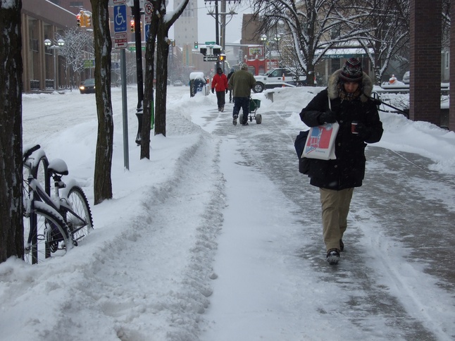
Ann Arbor residents returning to work on Wednesday could be in for a very snowy walk.
AnnArbor.com file photo
University of Michigan staff meteorologist Dennis Kahlbaum said the National Weather Service is currently projecting four to five inches of snow for the Ann Arbor area on Wednesday.
“We’re right on the edge of the storm, so that number could go up or down very quickly,” he said.
“The snowfall rapidly increases as you move to the east and south, so depending on how the storm system moves we could see more or less snow.”
The storm system that could cause the snowfall is currently dumping large amounts of rain on East Texas, Louisiana and other gulf states. The storm also is bringing strong winds that in some areas have led to tornado watches being issued.
The winds are not expected to be quite as strong as the storm pushes north, but Kahlbaum said wind speeds accompanying the snow could be as high as 25 to 30 miles per hour.
“That means that with the snow you’ll see a lot of blowing and drifts as well,” he said.
“People should use caution if they plan on driving Wednesday, especially later on Wednesday when the snow will be heaviest.”
By the time the storm reaches Michigan, it will cover an area ranging from Indiana all the way to New York state. Kahlbaum said the heaviest snowfall, possibly greater than eight inches, will be in Western New York near Buffalo.
“In Michigan, the heaviest snow will be southeast of us, in Monroe and Wayne counties,” he said.
The National Weather Service is currently projecting up to three inches of snowfall before midnight on Wednesday, and an additional inch between midnight and noon on Thursday for a total of four inches.
Ben Freed covers business for AnnArbor.com. You can sign up here to receive Business Review updates every week. Reach out to Ben at 734-623-2528 or email him at benfreed@annarbor.com. Follow him on twitter @BFreedinA2